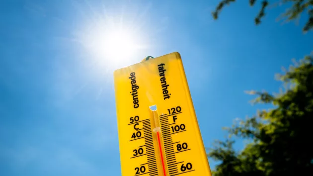
(NEW YORK) — For the second year in a row, summer in the Northern Hemisphere ranked as the warmest on record with extreme heat bringing persistent, dangerously hot conditions across several continents, according to a new report by Copernicus, the European Union’s Climate Change Service.
Summer 2024 (June through August) was the warmest summer on record for the Northern Hemisphere, beating the previous record set in 2023 by .66 degrees Celsius, or 1.19 degrees Fahrenheit, the report found. The Northern Hemisphere’s top 10 warmest summers on record have all occurred within the past 10 years, according to Copernicus.
Last month also registered as the joint-warmest August on record globally, tying the value observed in 2023, the report, released Thursday, found.
As the planet continues to set new global temperature records, parts of the West Coast continue to experience record-breaking heat. While much of the region typically experiences the warmest temperatures of the year on average during the month of September, the current round of hot weather impacting millions is reaching dangerous levels.
Extreme last-season heat is impacting major cities up and down the West Coast. Heat alerts were in effect across parts of six western states, from Arizona to Washington on Wednesday, including more than 65 million Americans. Several major cities could see records challenged in the coming days.
This latest round of extreme heat comes as major cities in the West such as Phoenix, Arizona, and Las Vegas, Nevada, experienced their hottest summers on record, according to the National Weather Service.
“The temperature-related extreme events witnessed this summer will only become more intense, with more devastating consequences for people and the planet unless we take urgent action to reduce greenhouse gas emissions,” Samantha Burgess, deputy director of Copernicus, said in a statement.
Researchers at Copernicus said that it remains likely that 2024 is going to be the warmest year on record, beating out the new record set just last year. The year-to-date global average temperature anomaly through the end of August currently ranks .23 degrees Celsius, or .41 degrees Fahrenheit, warmer than the same period in 2023.
The average anomaly for the remaining months of this year would need to drop by at least .30 degrees Celsius, or .54 degrees Fahrenheit, for 2024 not to be warmer than 2023. This has never happened in the organization’s ERA5 dataset.
The last time Earth recorded a cooler-than-average year was in 1976, according to the National Oceanic and Atmospheric Organization (NOAA).
August 2024 ended up tied with August 2023 as the warmest August on record globally, registering an average surface air temperature of 16.82 degrees Celsius, or 62.28 degrees Fahrenheit, according to the report. This is .71 degrees Celsius, or 1.28 degrees Fahrenheit, above the 1991-2020 average for the month.
The global average temperature over the past twelve months, September 2023 through August 2024, was 1.64 degrees Celsius, or 2.95 degrees Fahrenheit above the pre-industrial average, the report found.
The Paris Agreement goals aim to limit global warming to 1.5 degrees Celsius higher than pre-industrial levels.
Scientists say that it is important to note that exceeding the 1.5 degree Celsius warming threshold temporarily is not seen as a failure under the Paris Agreement since the agreement looks at the climate average over multiple decades. However, short-term breaches of the threshold are an important signal that those higher averages are likely to happen in the next decade if emissions aren’t reduced significantly.
Global daily sea surface temperatures across most of the world’s oceans remain well above average. The average global sea surface temperature for August 2024, between the latitudes of 60 degrees south and 60 degrees north, was 69.64 degrees Fahrenheit, the second-highest value on record for the month and just slightly below the record value set last year, the report found.
Persistent marine heatwaves are keeping sea surface temperatures at near-record levels across parts of the globe, including the Atlantic Basin. These unusually warm conditions were one of the primary factors that led NOAA to forecast a very active Atlantic hurricane season this year.
While the season got off to an impressive start with storms like record-breaking Hurricane Beryl and weeks of above-average activity earlier in the summer, the Atlantic Basin is now seeing a stretch of remarkably quiet conditions with the peak of the season just days away.
The past three weeks in the Atlantic Basin have been notably quiet with no named storm formations since Ernesto on Aug. 12.
However, toward the middle of September, large-scale environmental conditions look to become more favorable for tropical cyclone activity. This is particularly concerning for forecasters tracking the tropics because as many of the factors that have been inhibiting tropical activity begin to ease, any potential systems that begin to develop will have an ample supply of fuel to not only form but potentially go under rapid intensification.
Antarctic sea ice extent dipped to its second-lowest value on record for the month of August, 7% below average. Arctic sea ice extent was 17% below average for the month, ranking as the fourth lowest value on record and noticeably lower than the August values observed in the previous three years, according to Copernicus.
Copyright © 2024, ABC Audio. All rights reserved.


